
Hema Nullarbor Plain - Western Map - Kalgoorlie to Border Village
Delivery and Shipping
Delivery and Shipping
- Shipping is a flat rate of $11.99, *however occasionally Heavy or Bulky items, Dangerous Goods or deliveries to regional/remote areas may incur an extra freight charge. Our Customer Service team will be in contact if this does occur.
- Orders to major capital cities except WA generally arrive within 3 to 5 business days, WA delivery times are normally 5 to 10 business days.
- For further information please refer our Shipping & Delivery page.
365-Day Warranty
365-Day Warranty
- AutoMegaStore offers a 365-day warranty - 365 days from date of purchase. We will either credit, replace, or refund your item. The warranty covers all manufacturing faults and defects.
- For further information please refer our Warranty page.
Item Returns
Item Returns
- At AutoMegaStore, we want you to be 100% happy with your purchase. If, for any reason, you are not satisfied, you may return the product to us within 30 days of the date of purchase.
- Email us with your name, order number, and images of the intended returned product, and our Customer
Care team will arrange authorisation for the return. - For further information please refer our Refunds & Returns page.


Hema Nullarbor Plain - Western Map - Kalgoorlie to Border Village
- Australia's semi-arid Nullarbor Plain stretches some 1,256 kilometres (781 miles) via the Eyre Highway
- Various Nullarbor caves, iconic beaches across the Great Australian Bight
- Thousands of kilometres of 4WD tracks (See below for more information)
Truly one of the worlds great adventure drives, Australia's semi-arid Nullarbor Plain stretches some 1,256 kilometres (781 miles) via the Eyre Highway and links the cities of Adelaide and Perth (or vice versa depending on your direction). The length of this journey is so large we needed to stretch it over two maps; East from Port Pirie to Border Village in South Australia and the Western sheet from Border Village to Kalgoorlie.
While all the key sites and facilities along the Eyre Highway are listed this map allows you to broaden your horizon and consider some of the other attractions off the Highway, including; the various Nullarbor caves, iconic beaches across the Great Australian Bight and thousands of kilometres of 4WD tracks (including Old Coach Road (by permit)), all field-checked by the Hema Map Patrol for superior accuracy.
This map combines Hema's entire database of roads and 4WD tracks with touring points of interest and topographic information. Also included are camping & rest areas, fuel locations, accommodation, distances and history of the region.
Key Features
- 4WD tracks (including Old Coach Road)
- Camping & rest areas
- Fuel Locations
- Road distances
- Accommodation
- Caves and Beaches
- History of the area
Key Specifications
Edition: 1st
Publication Date: 12/08/21
Scale: 1:550,000
Folded size (WxHxD): 140mm x 250mm x 3mm
Flat size (WxH): 1000mm x 700mm
Weight: 0.09kgs
Payment & Security
Payment methods
Your payment information is processed securely. We do not store credit card details nor have access to your credit card information.
Buy Now Pay Later with AfterPay or ZipPay

-
24 Hour Dispatch
-
-
24 Hour Dispatch
AutoMegaStore
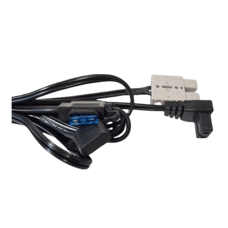
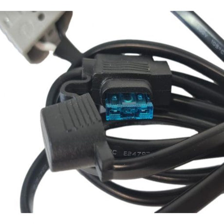
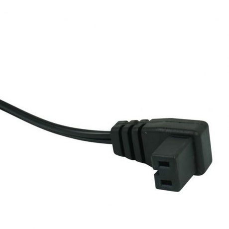
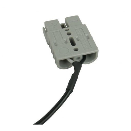
Anderson Style Plug to Waeco Fridge Plug Adaptor Lead 3m with 15A Fuse
$2399Unit price /Unavailable -
-
 24 Hour Dispatch
 -
24 Hour Dispatch
-
-
 24 Hour Dispatch
 -
24 Hour Dispatch
-
-
24 Hour Dispatch
-
-
24 Hour Dispatch$5.00 off
-
-
24 Hour Dispatch$5.00 off
AutoMegaStore
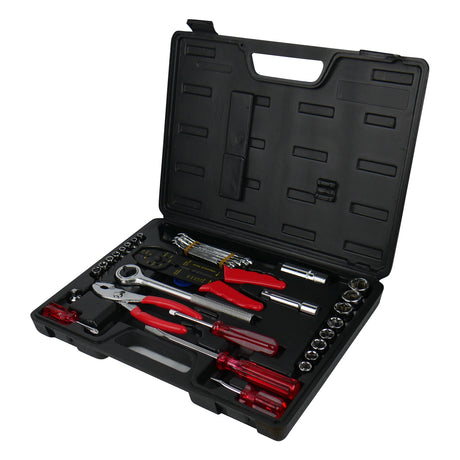
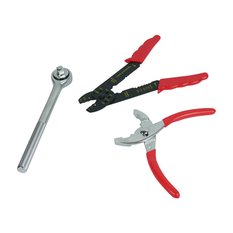
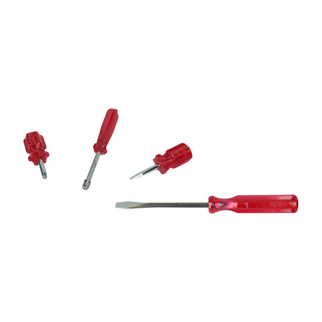
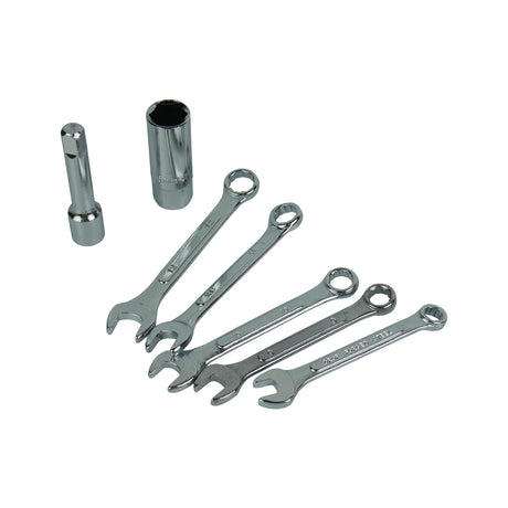
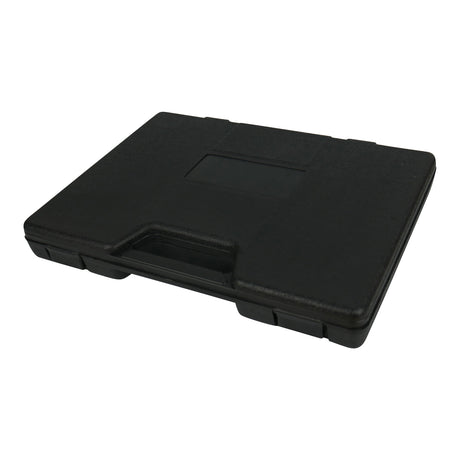
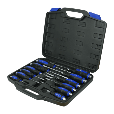
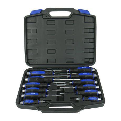
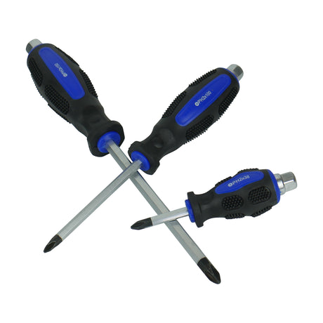
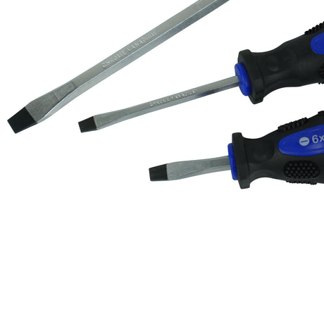
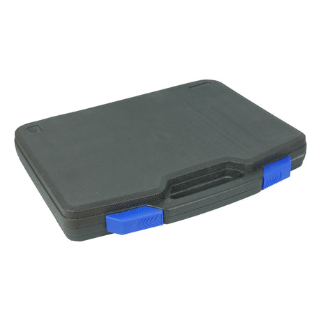
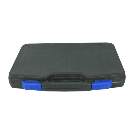
Motorist Hand Tool Kit With Compact Case 69 Piece
$4499$4999Unit price /Unavailable -
-
 24 Hour Dispatch
 -
 24 Hour Dispatch
 -
24 Hour Dispatch
-
-
24 Hour Dispatch
AutoMegaStore
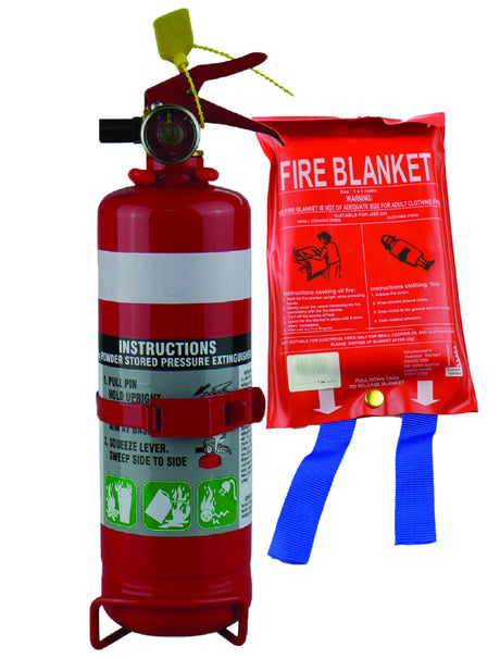
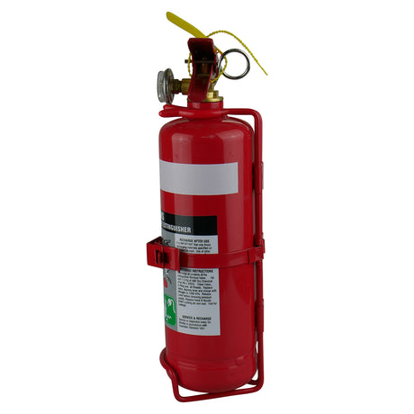
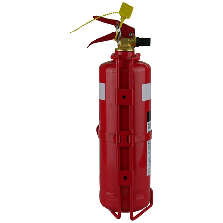
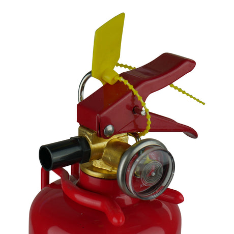
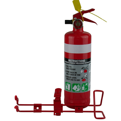
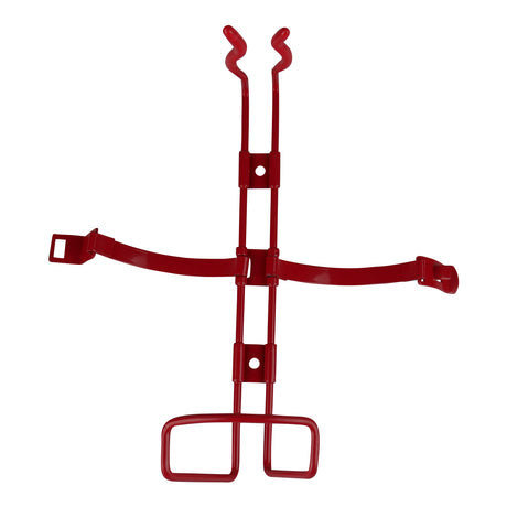
1KG Dry Chemical ABE Fire Extinguisher with HD Metal Bracket + Fire Blanket 1x1M
$4999Unit price /Unavailable -
-
24 Hour Dispatch
-
-
24 Hour Dispatch
-
-
24 Hour Dispatch$2.90 off
AutoMegaStore
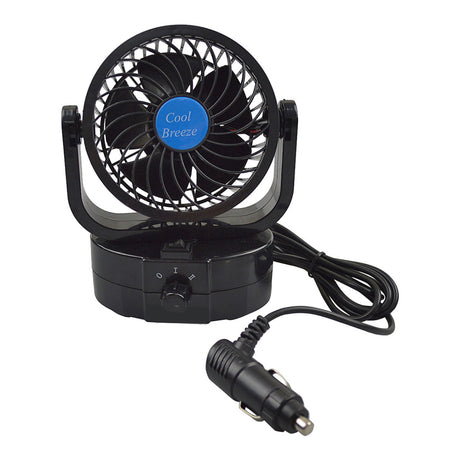
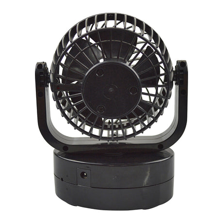
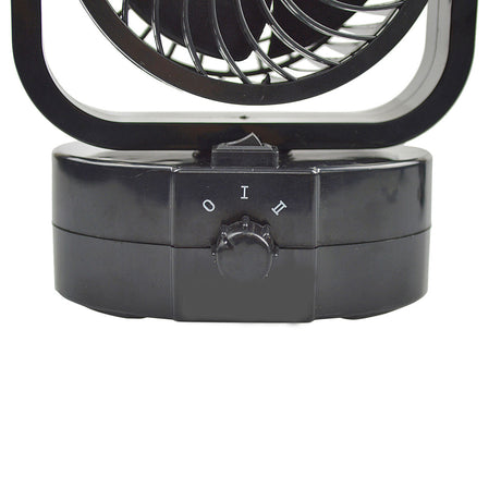
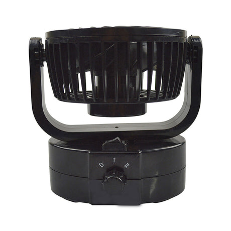
12 Volt Oscillating Fan Fully Adjustable Twin Speed
$2609$2899Unit price /Unavailable -
-
24 Hour Dispatch
AutoMegaStore
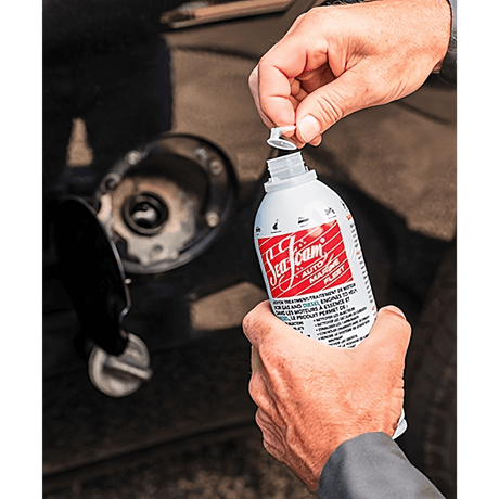
Jumper Leads 1500 AMP Extra Long Surge Protected Cables 6.5m
$25999Unit price /Unavailable -
-
24 Hour Dispatch
-
-
 24 Hour Dispatch
 -
24 Hour Dispatch
-